Automapki 1.7

Add satellite imagery to AutoCAD, ZWCAD, and BricsCAD base DWG editors
3.4 
Rating
Your vote:
Latest version:
1.9.7 See all
Developer:
Automapki
Screenshots
1 / 1
Awards (1)
Show all awards
Software Informer Virus Free award
Download
117 MB

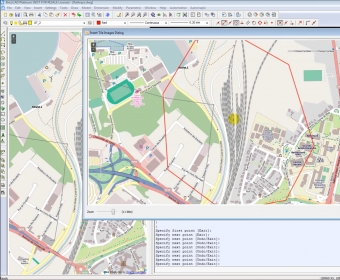
Automapki application brings web mapping and satellite imagery to AutoCAD, ZWCAD, and BricsCAD base DWG editors. It allows you to display your project and working area on top of web mapping source using Open Street Map, Map Quest, Open Aerial, or any user defined WMS, or WTS (such as Google Maps, Bing Maps, or Here Maps) base layers. This tool supports 3000 predefined coordinate systems, custom WKT spatial reference system definitions, and can merge selected map tiles to create Geo Tiff as a drawing background image.

Comments

3.4
Rating
62 votes
5 stars
18
4 stars
11
3 stars
13
2 stars
20
1 stars
0
User

Your vote:

Related software

Satellite Antenna Alignment
rating

Calculates the angles necessary for installing satellite dishes.

Karnaugh Map Minimizer
Free
rating

Program designed to minimize the Boolean functions.

Any DWG to PDF Converter Pro
rating

It's a batch converter that allows you to convert DWG to PDF.

Outdoor Map Navigator
Free
rating

OMN lets you plot routes on your PC and sync them with Anquet Cloud.

Map Export
Map Export
rating

Tool for downloading and exporting background image.

Tags

DWG satellite Map CAD Add map Map tool Satellite imagery Web mapping